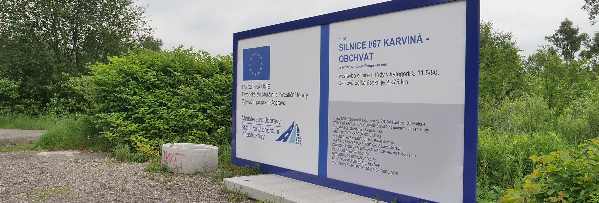
The ceremonial opening of the construction took place on 10 June 2020.
News
Ceremonial opening of the construction
The ceremonial opening of the construction took place on 10 June 2020.
PURPOSE OF THE CONSTRUCTION
The subject of the project is a new road construction, which will serve as the southwestern Karviná bypass for traffic in the direction of Český Těšín – Bohumín and Ostrava.
The Karviná bypass will significantly relieve the existing Karviná stretch from transit traffic. Driving comfort will be improved, traffic will be smoother, without being affected by intersections and pedestrian movement on the stretch. The noise and exhalation pollution of the city’s inhabitants will be reduced. There will be an increase in safety, both on the bypass and on the stretch through the city, where traffic intensity will decrease.
Removing the passage through the town of Karviná will also save fuel and time. On today’s passage through the city, there are several light-controlled intersections where vehicles start and brake, also the total length of the passage through the city is about 4000 meters, while it is about 3000 meters along the newly designed bypass.
The route was chosen with a view to minimizing interference with the surrounding environment. For the most part, it runs through areas disturbed by previous mining and areas where its cultural use is changing.
The route of the I/67 road is part of the planned system of the communication skeleton of the Karviná district, which will continue to form one of the most important backbone communication routes of the district until the construction of the S11 line.
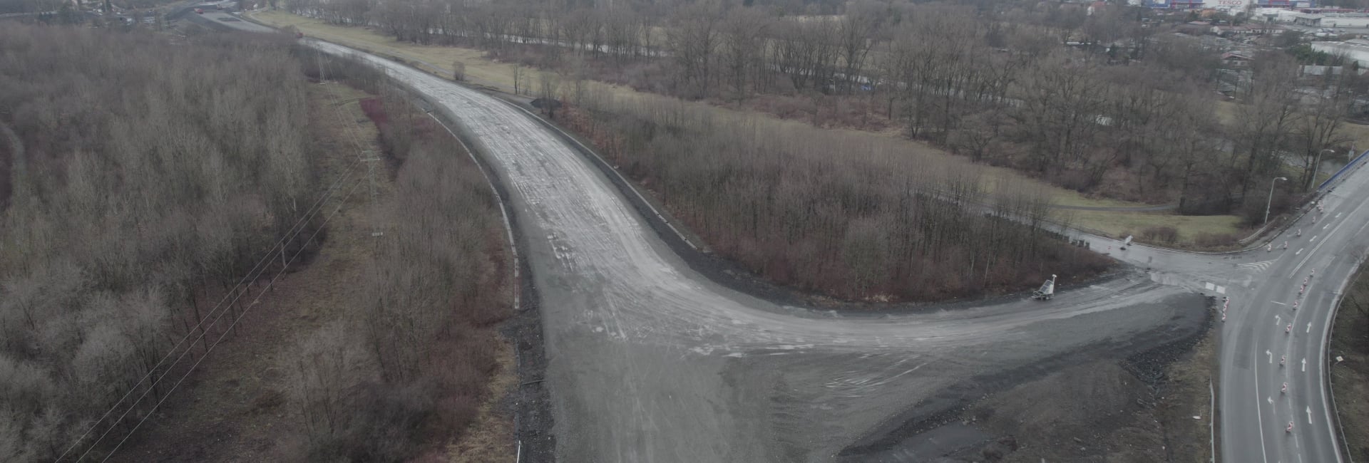
The main route of the construction consists of a 2975 meter long section of the I/67 road transfer from the junction with road III/4687 to the level crossing (MÚK) with road I/58. The road is designed in the S 11.5/80 category, i.e. a two-lane, directionally undivided road with a design speed of 80 km/hr. At km 2.30–2.55, it switches to the MS 20/80 category and at the end of the section it connects to the existing MS 16.5/80 category.
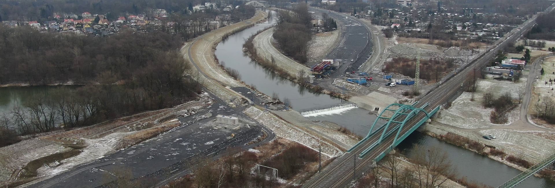
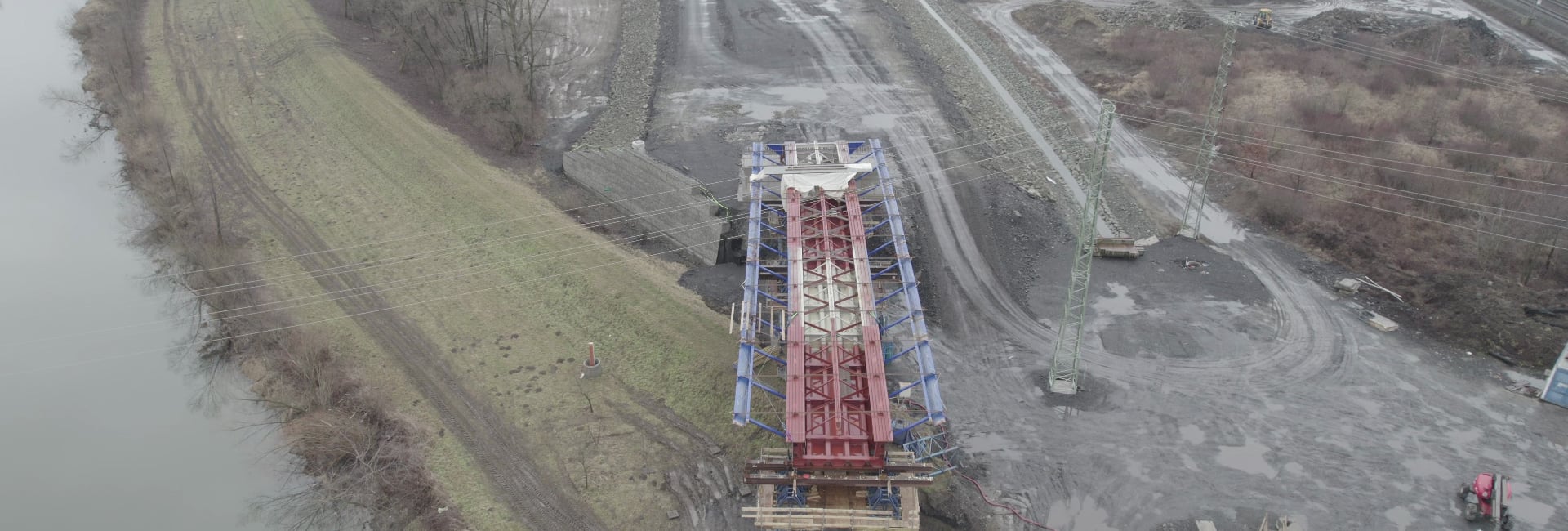
The route is led through the area where reclamation after previous mining activities (km 0.0–1.0) is currently taking place. It is also led by scattered buildings on the left bank of the Olše River, which will be purchased and demolished as part of mining and reclamation activities. After crossing the Olše River, the route leads along the bank of the water reservoir to the intersection with the I/59 road.
The route is designed as half of the planned four-lane Karviná bypass, with the road at the end of the section (km 2,550 – KÚ) being built in full width in order to avoid difficulties in the connection to the level crossing MÚK I/59 and I/67 in the future.
Bridge structures are designed at half the planned width, relocations of engineering networks and anti-noise measures are adapted to the prospective condition.
Most of the construction is thus located in an area disturbed by previous mining activities. The Olše riverbed with its nearest surroundings forms a regional biocorridor. Božena Němcová Park and its surroundings are listed as a protected zone. The effects on the surrounding environment are addressed by conducted surveys and appropriate measures.
Part of the bypass in the section from the bridge over the Olše River to the connection to the existing road runs parallel to the railway line and is partly in its protection zone.
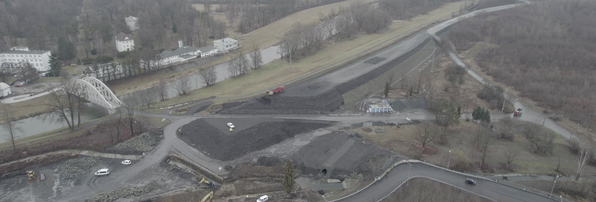
The construction includes connections to existing roads and bridges, relocation of the Darkovská Mlýnka stream and relocation of engineering networks to the extent necessary for the operation of the new construction.
As the documentation on the environmental impact assessment concludes, the most significant negative impact can be assessed as the disruption of the regional biocorridor, the relocation of the Darkovská Mlýnka riverbed and the occupation of agricultural land.
On the contrary, the most significant positive effect is the improvement of the air condition and the reduction of the load in the vicinity of the current stretch through the town of Karviná.
The design of the technical solution of the construction complies with the relevant regulations, the directional solution respects the route given by the final zoning decision.
The height solution corresponds to the requirement for the level of the road, which is to be led at least 0.50 meters above the level of the assumed 100-year flood in the Olše River. This results in high embankment slopes of the road.
Construction project schedule
The schedule has been updated as of 02/2022
Preparatory work on the construction is carried out (including demolition of buildings). All land needed for construction is purchased. Building permits are issued for all buildings. As part of the preparation, work on the basic demarcation network began.
At the beginning of April 2020, Directorate of Roads and Motorways – ŘSD selected the winning bid. On 17 April 2020, a contract with the winning bidder was concluded.
Preparatory work on part of the bypass (for the planned landfill of the embankment material) has already begun. The construction site was handed over on 6 May 2020.
The ceremonial opening of the construction took place on 10 June 2020.
In the first phase of the construction, the areas in the entire section of the construction will be dehumidified. Then the foundations of a reinforced concrete bridge over the Olše River will begin to emerge. Utility networks (trench relocation, gas relocation and high voltage lines) will also be relocated.
| EIA | ZP | UR | SP | VŘ | ZS | UP |
|---|---|---|---|---|---|---|
| 09/2017 | 01/2018 | 09/2005 | 01/2019 | 09/2019 | 05/2020 | 2023 |
Abbreviations:
EIA: Opinion of the EIA • ZP: Approval of the project aim • UR: Release territorial planning decision • SP: Issuing of building permit • VZ: Tender results declaration • ZS: Start of construction • UP: Commissioning
 1. Road I/67 Karviná – bypass – information leaflet